Home
Home
About Geosun
About Geosun
Products
Products
- Hardware
- Mobile LiDAR Scanning System
- gCollector Road Information Collection System
- gSpin POS System
- PPK Solution
Support
Support
News
News
Contact Us
Contact Us

Introduction:
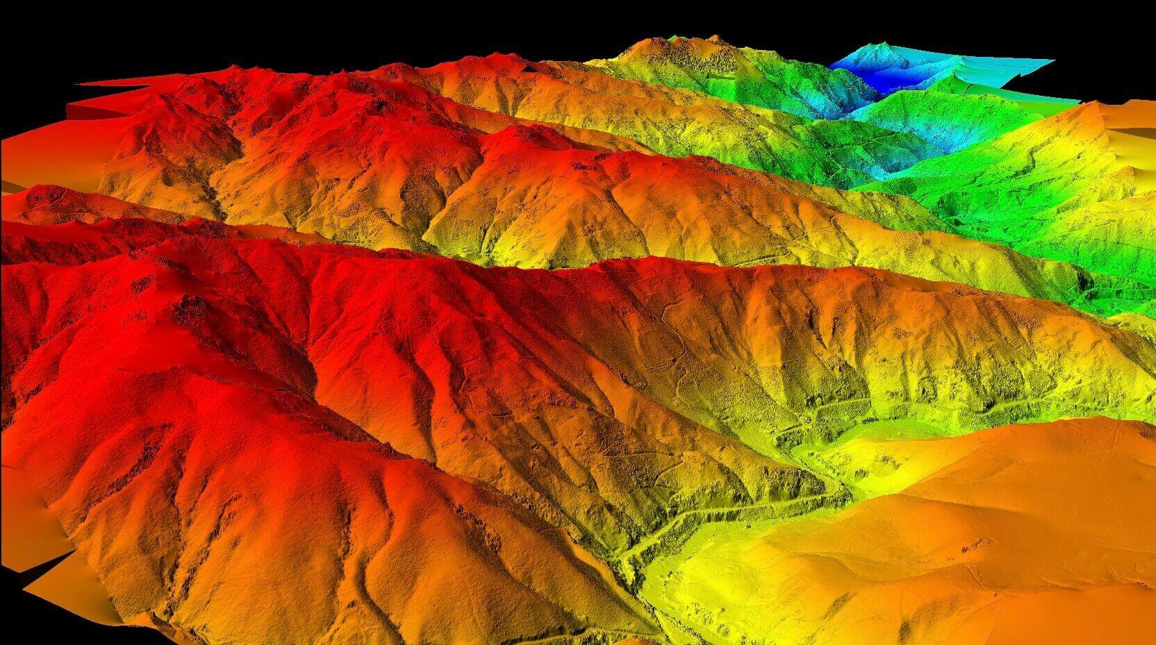
When conducting mapping in areas with trees and forest cover, it is difficult to obtain an accurate ground model using visible light systems mounted on drones, and conducting survey work with RTK is also labor-intensive. The gAirHawk series of LiDAR scanning systems are one of the few remote sensing technologies that can penetrate through the vegetation canopy and directly obtain the most realistic ground surface model. The system can also obtain orthophoto images and overlay them onto the LiDAR data, providing a true-color point cloud with absolute positioning. Based on the data obtained, products such as DEM, DOM, DSM,and DLG can be generated. Users can also generate contour lines using the generated DEM or TIN models generated from point clouds, and then use TIN to generate contour lines.

Data Applications:
1. Rich Topographic Results
Based on laser point cloud data, important topographic survey results such as DEM, DSM, DLG contour lines, slope, aspect, and texture roughness can be extracted.
2. Engineering Surveying
Based on three-dimensional point cloud data collected in the field, quick analysis of earthwork volume and excavation, and measurement of cross- sections can be performed, which can be widely used in applications such as highway engineering, railway surveying, and urban renovation projects.


