Home
Home
About Geosun
About Geosun
Products
Products
- Hardware
- Mobile LiDAR Scanning System
- gCollector Road Information Collection System
- gSpin POS System
- PPK Solution
Support
Support
News
News
Contact Us
Contact Us


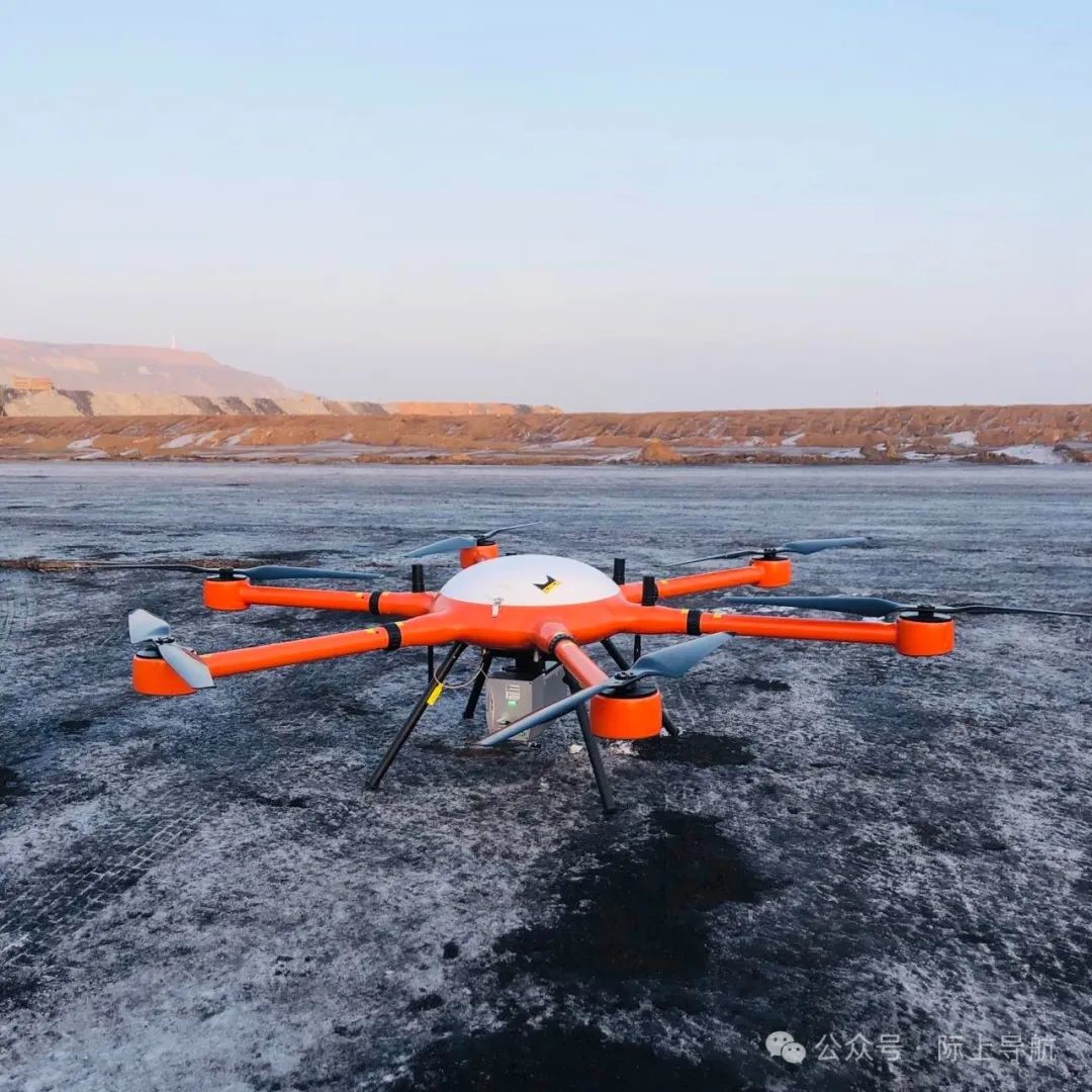
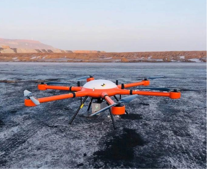
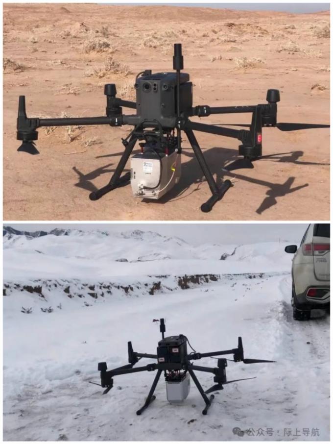
At the beginning of the new year, drones equipped with the GS-1500N lidar scanning system conducted large-scale geographical surveying and mapping work in Xinjiang.


URL:https://www.geosuntech.com/News/143.html
Previous:Geosun in CHINTERGEO 2023


