Home
Home
About Geosun
About Geosun
Products
Products
- Hardware
- Mobile LiDAR Scanning System
- gCollector Road Information Collection System
- gSpin POS System
- PPK Solution
Support
Support
News
News
Contact Us
Contact Us

As the construction industry continues to embrace digital transformation, the integration of handheld SLAM LiDAR (Simultaneous Localization and Mapping) and Building Information Modeling (BIM) stands out as a powerful tool to boost efficiency and accuracy. Handheld SLAM LiDAR enables real-time data acquisition through rapid and precise spatial scanning, while BIM is responsible for managing and visualizing this data, streamlining construction site management, design, and project maintenance. This article will explore the application of handheld SLAM LiDAR in BIM and how it benefits the construction industry by enhancing digital construction workflows.
Handheld SLAM LiDAR is a portable laser scanning device that captures 3D point cloud data using laser beams and calculates the time it takes for the laser to reflect back. By utilizing SLAM algorithms, the device can simultaneously localize itself in space and map the environment. Unlike traditional stationary laser scanners, handheld SLAM LiDAR is lightweight and mobile, making it ideal for construction site scanning, confined spaces, and complex indoor environments.
BIM (Building Information Modeling) is a digital process that integrates building geometry, construction data, and project details into a single model. BIM is not only about creating 3D models but also about managing information throughout a building's lifecycle. By combining all building-related information, BIM improves collaborative planning and decision-making across different phases of a construction project.
The BIM integration with handheld SLAM LiDAR offers numerous practical applications that drive efficiency and accuracy in construction projects. Some key applications include:
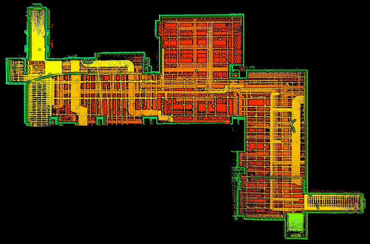
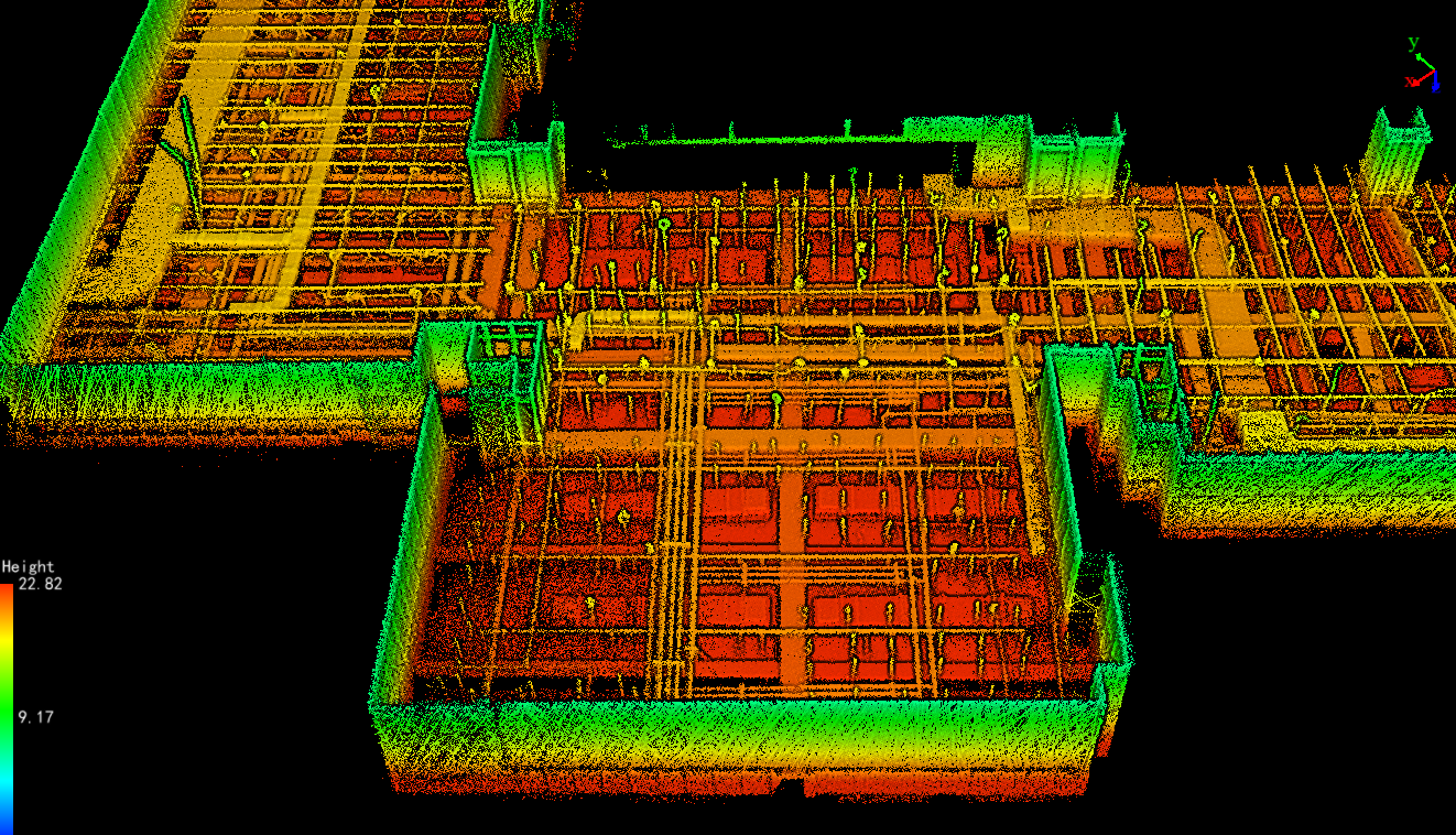
One of the most critical applications is construction site scanning for generating a 3D point cloud of existing structures or environments. Handheld SLAM LiDAR allows architects and engineers to scan entire sites quickly, collecting highly detailed data. This information is then imported into BIM models, enabling precise design optimization or the creation of as-built models, especially in renovation or expansion projects where original plans may not exist.

During the construction phase, handheld SLAM LiDAR can be used for construction progress monitoring. Periodically scanning the construction site allows project managers to compare the actual site conditions with the original BIM design. This comparison helps to identify deviations from the planned design and ensures that any misalignments or construction errors are addressed before they escalate, thereby improving quality control and reducing the risk of costly rework.

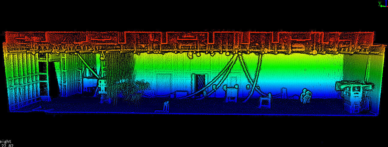
In confined or complex environments like underground spaces or densely built urban areas, GPS-based equipment may not be reliable. Handheld SLAM LiDAR, with its ability to function without GPS, is well-suited to such environments. 3D scanning in these challenging settings produces accurate spatial data that can be incorporated into BIM for more informed decision-making.

Buildings often undergo renovations or maintenance work throughout their lifecycle. Handheld SLAM LiDAR can be used to rescan structures, capturing updated site data and feeding it into the BIM model. This ensures that the BIM data remains accurate and up-to-date, enabling facility managers to manage building operations more effectively, making it easier to plan for future upgrades or maintenance.
The real-time data acquisition capabilities of handheld SLAM LiDAR significantly speed up the data collection process. Traditional survey methods are time-consuming and labor-intensive, whereas SLAM-based devices enable faster, more accurate results. By importing this data directly into BIM, teams save time on manual input and avoid data conversion issues.
Handheld SLAM LiDAR provides highly detailed 3D point cloud data that reflects the precise conditions of the construction site. BIM integration ensures that this accurate data is available throughout the project lifecycle. This precision is crucial for improving construction planning, reducing the likelihood of design errors, and ensuring that digital construction workflows align with real-world conditions.
Using handheld SLAM LiDAR for progress monitoring helps project teams catch discrepancies early, reducing the need for rework. Fewer errors mean fewer delays and lower costs. The ability to continuously monitor construction site conditions in real-time ensures that BIM models are always in sync with actual progress, reducing the need for last-minute fixes or adjustments.
BIM platforms serve as collaborative tools where all stakeholders can access accurate and up-to-date information. By integrating SLAM LiDAR data into BIM, everyone involved in the project, from architects and engineers to contractors and clients, can make decisions based on the same real-time data. This fosters better collaboration and reduces communication gaps, ultimately enhancing the overall project outcome.
As technology continues to evolve, the BIM integration with SLAM LiDAR will become even more seamless. Future developments may include automatic synchronization between SLAM devices and BIM platforms, enabling real-time data sharing without manual intervention. Additionally, machine learning algorithms could improve the interpretation of 3D point clouds, making it easier to detect issues or predict outcomes before construction starts. As the complexity and scale of construction projects increase, this integration will be central to managing digital construction projects more efficiently.
The combination of handheld SLAM LiDAR and BIM is transforming the construction industry by improving how site data is collected, managed, and shared. SLAM LiDAR provides precise, real-time 3D data, while BIM serves as a comprehensive platform for digital construction management. Together, they enhance efficiency, accuracy, and collaboration, leading to better project outcomes. As both technologies continue to advance, their integration will be a driving force behind the future of digital construction.
URL:https://www.geosuntech.com/News/238.html
Previous:What Is SLAM and Why Use SLAM For Surveying?
Next:Unlock the Potential of Mobile Mapping for Your Surveying Business


