Home
Home
About Geosun
About Geosun
Products
Products
- Hardware
- Mobile LiDAR Scanning System
- gCollector Road Information Collection System
- gSpin POS System
- PPK Solution
Support
Support
News
News
Contact Us
Contact Us

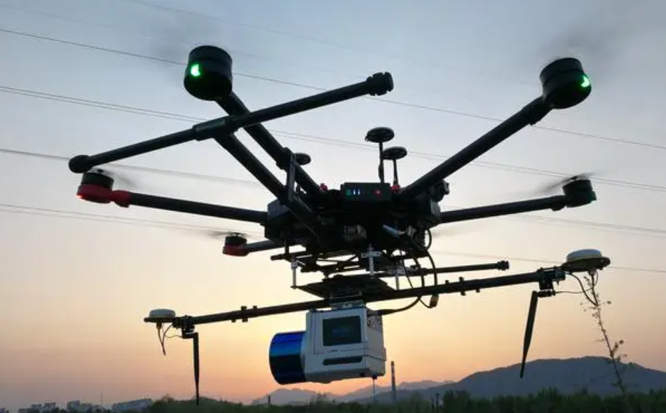
Unmanned Aerial Vehicles (UAVs), commonly known as drones, have revolutionized the field of aerial surveying due to their flexibility, cost-effectiveness, and ease of deployment. However, ensuring the accuracy of data collected through UAV aerial surveying is crucial for its reliability and usefulness. Let's delve into the various factors that influence the accuracy of UAV aerial surveying:

Quality of UAV Platform
The choice of UAV platform plays a significant role in survey accuracy. Factors such as stability, payload capacity, and flight endurance impact the quality of data collected. High-quality UAVs equipped with stable flight control systems and precise navigation capabilities contribute to better accuracy.
Sensor Calibration
Accurate calibration of sensors, including cameras, LiDAR, or other remote sensing devices mounted on UAVs, is essential. Proper calibration ensures that measurements are accurate and consistent, minimizing errors in the collected data.
Georeferencing and Ground Control Points (GCPs)
Georeferencing UAV-acquired imagery or LiDAR data requires ground control points (GCPs) with known coordinates. The distribution and accuracy of GCPs directly influence the accuracy of the final survey products. Adequate GCP placement and precise GPS measurements are crucial for achieving high accuracy.
Flight Planning and Execution
Effective flight planning is vital for optimizing survey coverage and data quality. Factors such as flight altitude, overlap between images, and flight speed impact the accuracy and resolution of the collected data. Careful execution of the flight plan, including maintaining consistent altitude and speed, is essential for minimizing errors.
Environmental Conditions
Environmental factors such as wind speed, temperature, and atmospheric conditions can affect UAV stability and sensor performance. Adverse weather conditions may degrade data quality and accuracy, emphasizing the importance of selecting suitable weather windows for aerial surveying operations.
Data Processing and Analysis
Post-processing techniques such as image stitching, orthorectification, and point cloud generation are critical for refining raw UAV data into accurate survey products. The choice of software tools and algorithms, as well as the expertise of data analysts, influence the accuracy of the final output.
Ground Sampling Distance (GSD)
The GSD, determined by flight altitude and sensor specifications, determines the spatial resolution of UAV-acquired imagery. Smaller GSD values result in higher detail but may require more extensive data processing and result in larger data volumes.
By understanding and addressing these factors, UAV operators can enhance the accuracy and reliability of aerial surveying data. Continual advancements in UAV technology and data processing techniques offer exciting opportunities to further improve the accuracy and efficiency of UAV aerial surveying in various applications.
URL:https://www.geosuntech.com/News/167.html


