Home
Home
About Geosun
About Geosun
Products
Products
- Hardware
- Mobile LiDAR Scanning System
- gCollector Road Information Collection System
- gSpin POS System
- PPK Solution
Support
Support
News
News
Contact Us
Contact Us
Introduction:
Real-time and accurate monitoring of forest structural parameters and functional changes is a key step in clarifying forest resource reserves and formulating forest management measures. LiDAR has unique advantages in obtaining forest three- dimensional structure and inverting forest structure and functional parameters. It provides a technology that balances accuracy and timeliness for estimating forest parameters such as tree height, breast diameter, crown, single tree count, crown coverage, biomass, and wood volume, and is an important component of the current forest resource monitoring system.
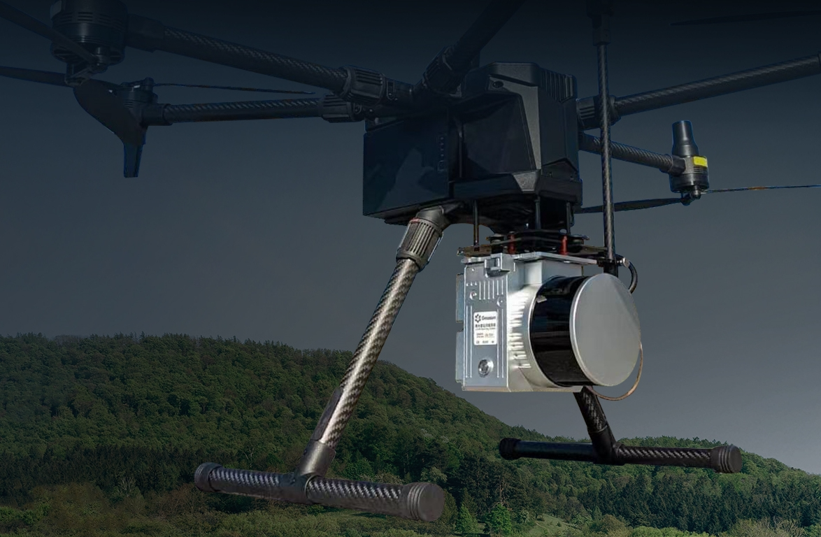
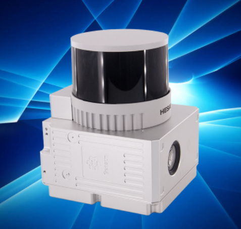
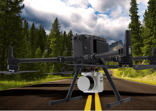
Geosun UAV LiDAR solution:
| Helps to construct detailed terrain of the study area and infer vegetation structural parameters (such as tree height, coverage, leaf area index, etc.). | 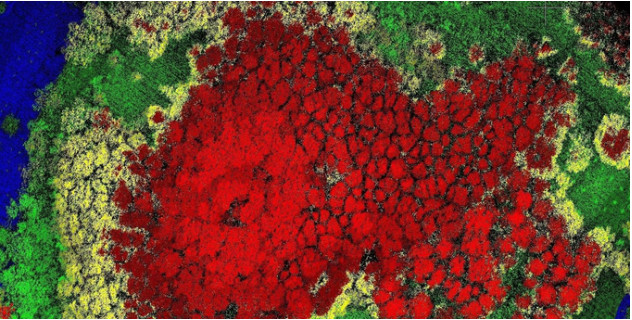 |
 |
Measures parameters such as tree species, location, height, diameter at breast height (DBH), crown width of individual trees. |
| Allows for more administrative freedom and are cost-effective tools to quickly map large areas. | 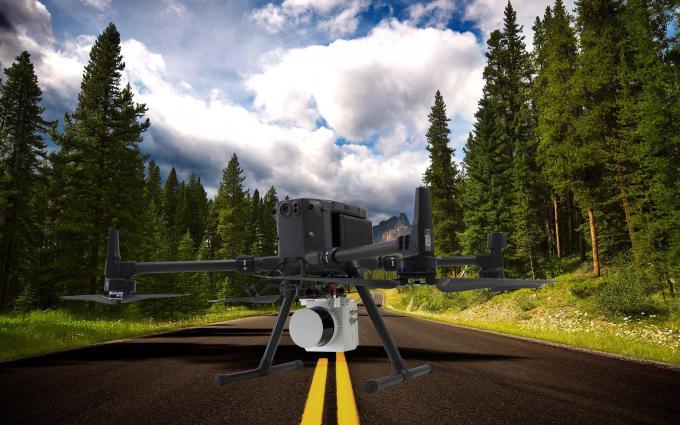 |
Data Applications:
1. Tree Distribution
Determine the types, quantities, quality and spatial LDA distribution of forest trees within the forest and green space boundaries.
2. Forest Attribute Management
Determine changes in forest area, forest type,site conditions,forest protection and utilization, and management status.
3. Analysis and Evaluation
Comprehensively analyze forest resources and ecological conditions and management effectiveness, provide assistance in decision-making for forest resource cultivation, protection, and utilization, and propose suggestions for forest ecological security and ecological cvilization construction.