Home
Home
About Geosun
About Geosun
Products
Products
- Hardware
- Mobile LiDAR Scanning System
- gCollector Road Information Collection System
- gSpin POS System
- PPK Solution
Support
Support
News
News
Contact Us
Contact Us

Introduction:
Traditional manual line inspection methods are not only labor-intensive and time- consuming but also dangerous, especially for power transmission lines crossing mountains and rivers, and for line inspections during ice, water, earthquakes, landslides, and nighttime. The gAirHawk LiDAR scanning system, using laser ranging principles and aerial photogrammetry, can automatically classify power line/pole point clouds and perform real-time analysis of power line conditions, with fast operation speed, low field workload, high measurement accuracy, large data acquisition volume, and high degree of automation. This can help complete the three-dimensional visualization of the transmission line corridor and facilitate the rapid and efficient detection and investigation of power line hazards in the power grid system.

Geosun UAV LiDAR solution:
| Gathers measurements in split seconds, thus allowing for quick mapping of the area. |  |
|
|
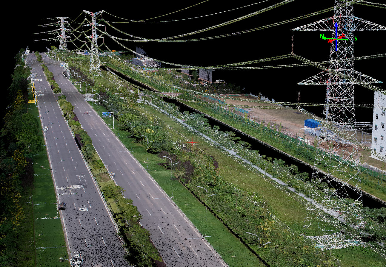
Allows grid operators to measure the distance between the foliage, different vegetation and power lines. Scan fast-growing vegetation sections as often as needed. |
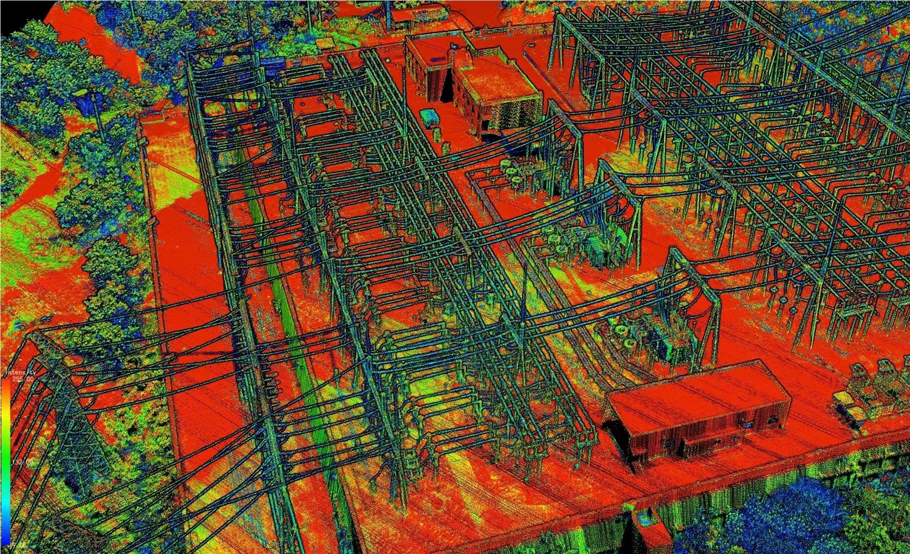
| 3D modelisation of the power lines, power/telecom tower, etc. |  |
Data Applications:
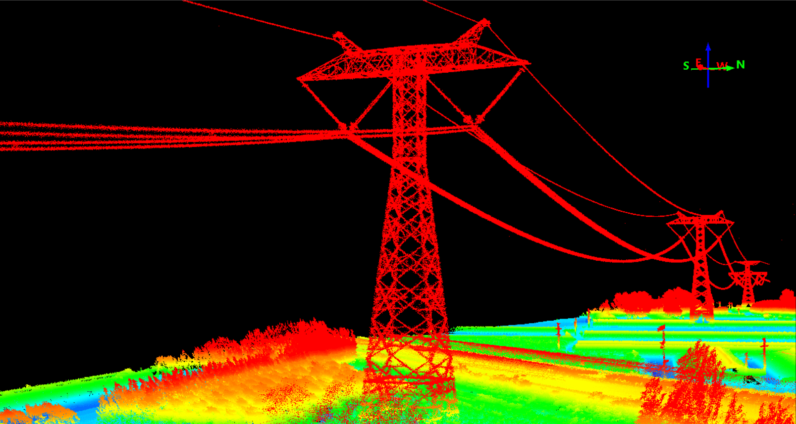
1. Achieve high-precision and accurate 3D modeling of towers, wires, and terrain.
2. Analyze obstacles such as trees and crossovers in the transmission line corridor, quickly detect dangerous trees that affect the safety distance of the transmission line, and accurately calculate the hidden dangers in the corridor environment.
3. Support individual tree segmentation within the transmission corridor, quickly detect the number, position, height, and canopy of tree hazards, accurately calculate the felling amount of tree hazards, and provide guidance for on-site work of hazard investigation in the power grid industry.
(Software: PointCreater, PointCloudGUI)


