Home
Home
About Geosun
About Geosun
Products
Products
- Hardware
- Mobile LiDAR Scanning System
- gCollector Road Information Collection System
- gSpin POS System
- PPK Solution
Support
Support
News
News
Contact Us
Contact Us

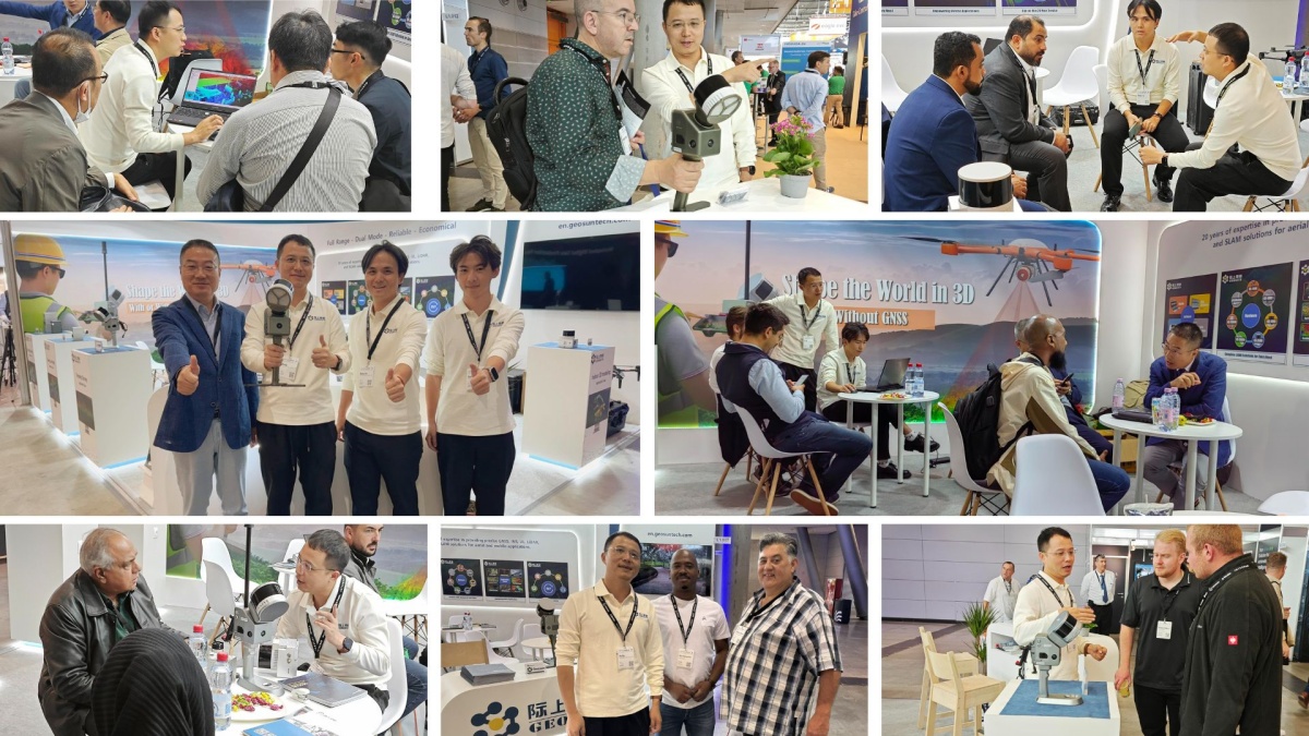
[Stuttgart, September 27th] — Geosun Navigation, a leading provider of LiDAR scanning solutions, proudly announces the successful conclusion of its participation at INTERGEO 2024, held from September 24th to 26th in Stuttgart. The event offered Geosun Navigation a valuable platform to showcase its latest innovations and engage with industry leaders, partners, and customers.

Throughout the three-day exhibition, Geosun Navigation's newly launched GS-130G handheld SLAM LiDAR scanner attracted significant attention. Attendees praised the device for its lightweight design, cutting-edge features, and exceptional precision, making it an ideal solution for a wide range of surveying and mapping applications.

We were thrilled with the enthusiastic response at INTERGEO 2024. The GS-130G and our comprehensive range of LiDAR solutions sparked substantial interest among geospatial professionals seeking to improve project efficiency and enhance data accuracy.
In addition to the GS-130G, Geosun Navigation also showcased its GS-100G, GS-120G, and drone-mounted LiDAR scanners, demonstrating the versatility and power of its product line. Visitors had the opportunity to witness live demonstrations and interact with Geosun’s technical experts to explore how these solutions can streamline workflows and address real-world challenges.

We are grateful for the opportunity to connect with so many professionals in the geospatial industry. The feedback we received and the relationships we built will drive our continued innovation as we strive to enhance our products further.
Geosun Navigation remains committed to pushing the boundaries of LiDAR technology, delivering solutions that meet the evolving needs of geospatial data collection and analysis. The company looks forward to collaborating closely with industry partners and customers to shape the future of the surveying industry.
URL:https://www.geosuntech.com/News/240.html
Previous:Unlock the Potential of Mobile Mapping for Your Surveying Business
Next:What is SLAM and Why It’s a Game-Changer for Mobile Mapping


