Home
Home
About Geosun
About Geosun
Products
Products
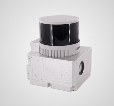
- Hardware
- Mobile LiDAR Scanning System
- gCollector Road Information Collection System
- gSpin POS System
- PPK Solution
Support
Support
News
News
Contact Us
Contact Us
Survey of Tidal Flats:
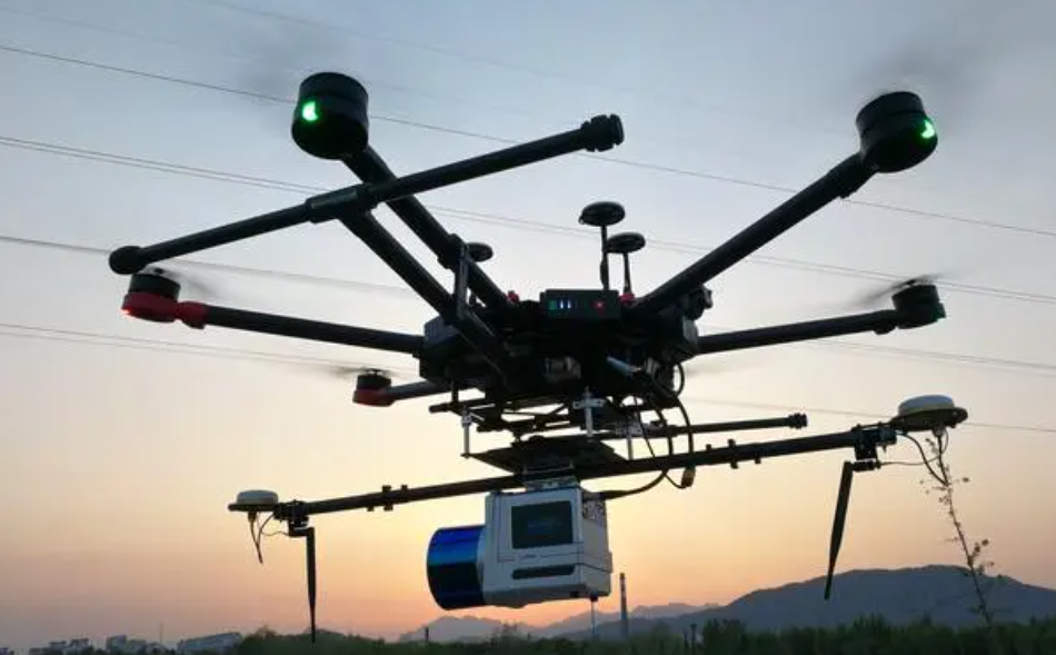
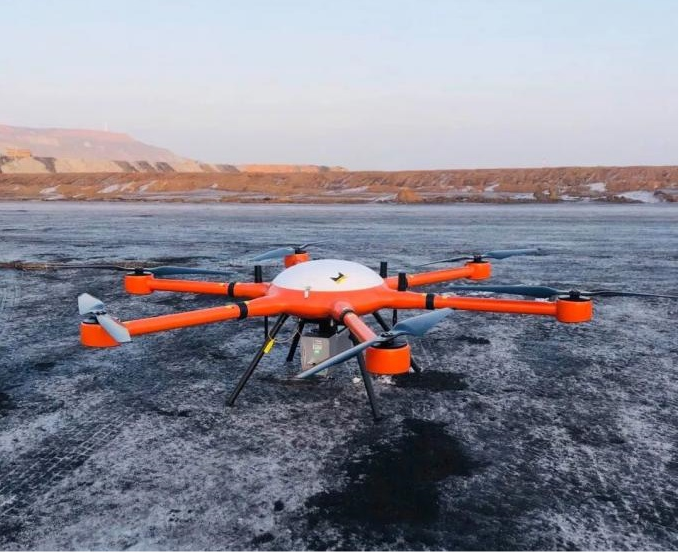
Compared to traditional topographic surveys, tidal flat surveys are more difficult and complex. The use of Unmanned Aerial Vehicles (UAV) on wetlands is becoming a common survey technique that is extremely useful for understanding tidal flats. Our gAirHawk LiDAR scanning system helps to collect underwater topographic information of the water body and accurately position the data to depict the planimetric features. Further, this data can be integrated with shoreline topographic survey or 3D laser scan data and surrounding land surveys to create overbank surveys.

Reservoir Survey:
在Historically, the reservoir survey was carried out using the conventional equipments like theodolite, plane table, sextant, range finders, sounding rods, echo-sounders and slow moving boats etc. The surveys conducted by this method are time-consuming, and the data accuracy is also very poor. Our gAirHawk LiDAR scanning system helps to quickly generate 3D modeling and ensure safety, speed, and high accuracy. In addition, It also reduces the collection time and cost.

Wetland Survey:
In recent years, High-resolution satellite images and LiDAR-based elevation data have been proved to be useful in wetland mapping. Our gAirHawk LiDAR scanning system demonstrates the unprecedented ability to characterize the geomorphic form of wetlands using high-resolution digital topography.